Description
Find Your Way to Minnesota’s Most Beautiful Waterfalls
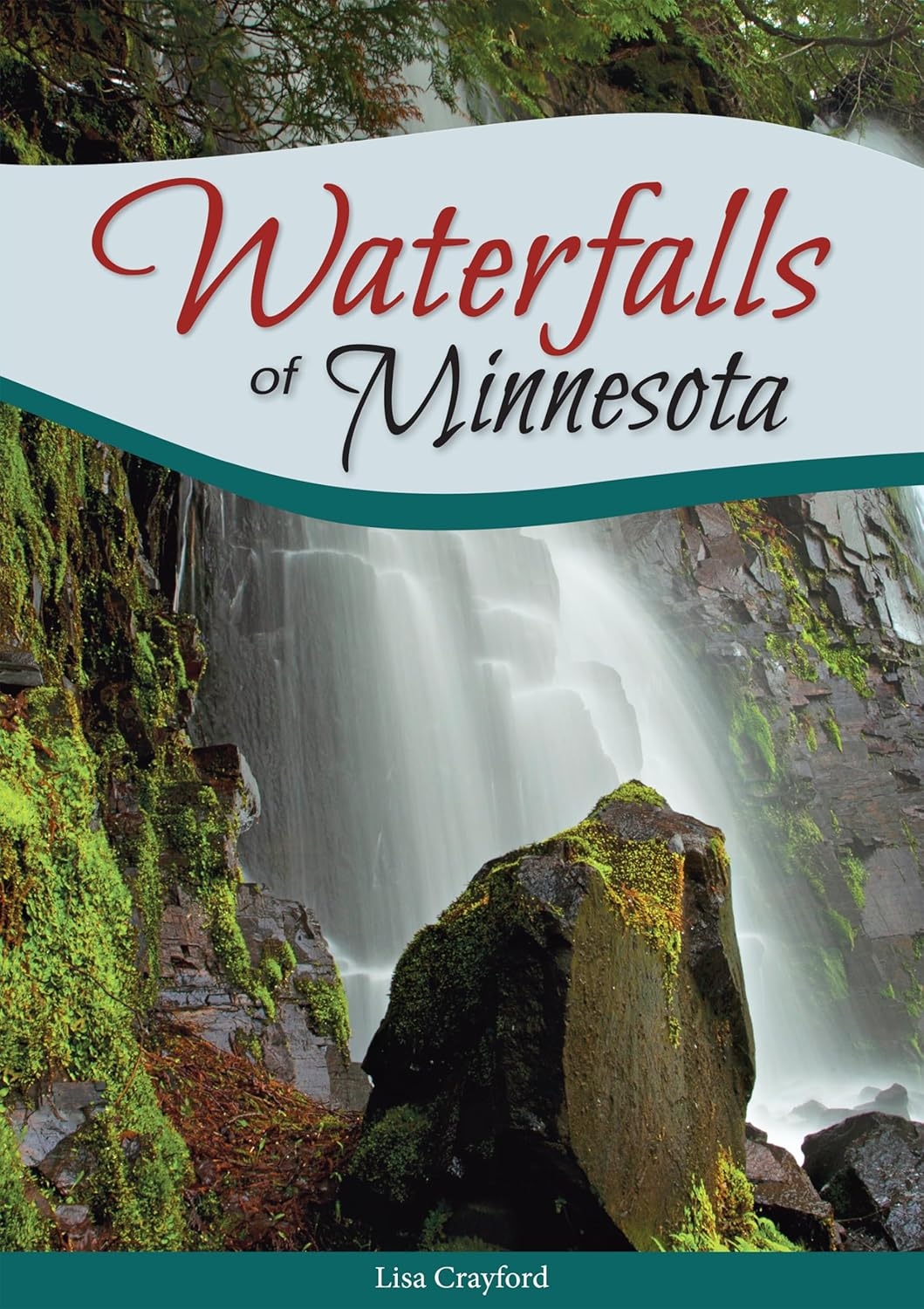
Let Master Photographer Lisa Crayford guide you to the top-ranked waterfalls in the state, as well as her “secret waterfalls.” Your bucket list should definitely include these 117 gorgeous locales that decorate Minnesota’s landscape.
With this book in hand, you can easily plan to see them all. The waterfalls are organized geographically and ranked by beauty. Start with the ones nearby, then get away to discover those farther afield. These natural wonders prove that the Land of 10,000 Lakes is also home to some of the most picturesque waterfalls in America!
In this book you’ll find all the information you need, like directions, distance, hike difficulty and more
a curated look at each locale, including not-to-miss sights and activities, as well as things to do in the surrounding area details about each waterfall, such as height, width and the best time of year to visit.
Bridge views, short hikes, secluded waterfalls in urban areas and hidden gems along the North Shore―experience them all with this wonderful guidebook!
About the Author
Excerpt. © Reprinted by permission. All rights reserved.
Vermillion Falls, Vermillion River
Location: In Vermillion Falls Park and near the Ramsey Mill Ruins.
Address/GPS for the Falls: Located off Hwy. 61 and 21st St. E, Hastings, 55033; 44° 43’32.10″ N, 92° 50’41.76″ W.
Directions: If you are heading south on Hwy. 61, you’ll want to turn left after the ConAgra Flour Mill onto 21st St. E, and the park will be on your left.
Website: www.hastingsmn.gov/city-government/city-departments/parks-recreation
Waterway: Vermillion River.
Nearest Town: Hastings.
Height: The Main Falls are approximately 45 feet high; the Upper Falls are 8 feet high.
Crest: Approximately 35–45 feet.
Hike Difficulty: Easy.
Trail Quality: Good, short paved trail.
Round-trip Distance: 0.1 mile.
Admission: None.
Trip Report & Tips: From the parking lot, it’s a short and easy walk to the covered gazebo for your first look at Vermillion Falls. Walk down the paved path to find a more scenic view than the fenced-in overlooks. Here you’ll see―and hear―the very loud falls as the water plummets deep into the gorge. If you head farther down, you’ll find a pedestrian bridge crossing over the gorge that will lead you to Old Mill Park. Looking at the falls, they first flow over a man-made cement ledge that’s about 6–8 feet high. You can get very close to the short falls and actually sit on the ledge. The water then glides over the surface for a bit and plunges down a good 35–45 feet as it hits the rocky river floor. In the nineteenth and early twentieth centuries, the river was used for water power for area gristmills; one was even built by Alexander Ramsey, Minnesota’s first governor. The area’s milling ties continue to this day: To the north of the river is the massive ConAgra flour mill.
Details
- Publisher : Adventure Publications (May 24, 2016)
- Language : English
- Paperback : 216 pages
- ISBN-10 : 159193592X
- ISBN-13 : 978-1591935926
- Item Weight : 14.1 ounces
- Dimensions : 6 x 0.55 x 8.25 inches





Reviews
There are no reviews yet.